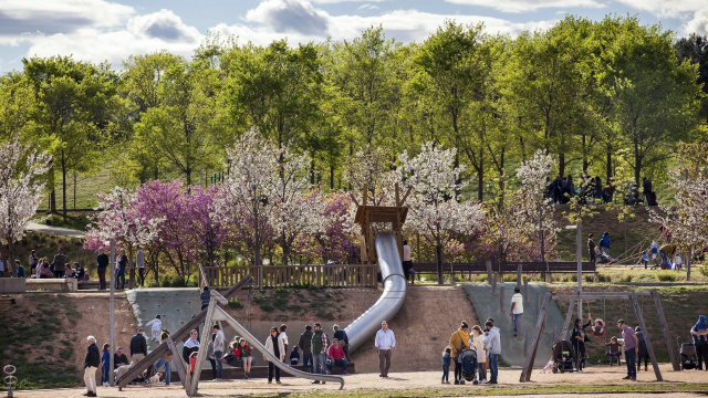
Route from FGC Mira-sol to the Monastery
A linear route between the 'Mira-sol' FGC station and the Sant Cugat Monastery, passing through Turó de Can Mates Park and Parc Central.
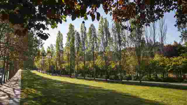
START · FGC 'Mira-sol' Station Leave the FGC 'Mira-sol' station via the escalators and head left to go under the tracks through the Isabel de Villena passage. Then, turn left onto Avinguda del Carril, which later becomes Avinguda del Bell Indret and will lead you to Turó de Can Mates Park. When you reach the roundabout on Josep Irla Street, cross with care and continue left, skirting the park. Enter Can Mates Hill Park via the path between the Can Rabella farmhouse and the urban allotments. Can Rabella is a medieval farmhouse around which this area of the city developed. After passing the farmhouse and the allotments, the path runs past a biodiversity area with insect hotels and butterfly-friendly plants. Continue to a children's play area, take the path that turns right and cross the Turó de Can Mates park, one of Sant Cugat's largest urban parks, characterised by Mediterranean landscaping that seeks to reduce water consumption and promote biodiversity. When you reach the ascent, you can choose to continue to the summit of Turó de Can Mates or take the alternative path to avoid the incline. If you climb the hill, you can enjoy great views over Sant Cugat and the Collserola landscape. On clear days, you can also make out the Can Monmany farmhouse to the south-west, located below Puig Madrona. This estate has a long history of agriculture and now hosts projects in agroecology, education and social participation. From the hill, descend the zigzag path until you reach the section that passes the calisthenics area. Continue to the zip wire and the children's play area. Once past the zip wire, cross under the bridge and enter the Central Park, which follows the course of the Torrent de la Bomba, one of Sant Cugat's streams. Although much of these watercourses are underground, they play an important role in drainage, the subsurface and Mediterranean ecosystems. Follow the main path through the middle of the park, parallel to the stream, passing several play areas and shaded spots, until you reach the bridge over the FGC railway tracks (S2). Once you have passed under the railway tracks, the final urban section begins. Continue along Manel Farrés, Torrent de la Bomba, Santa Maria and Santiago Rusiñol streets until you reach Plaça d'Octavià, in front of the Monastery of Sant Cugat. The monastic complex marks the end point of this route. FINISH · Plaça d'Octavià
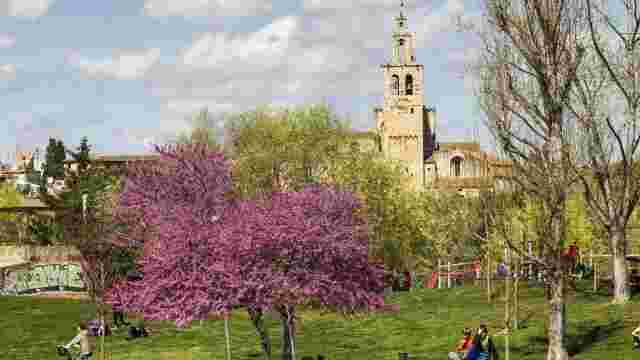
Circular route from FGC Sant Cugat
A circular route in the south of Sant Cugat, starting and finishing at Lluís Millet Square, opposite the 'Sant Cugat Centre' FGC station.
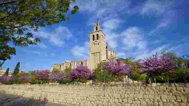
Route from FGC Volpelleres to the Monastery
A linear route between the 'Volpelleres' FGC station and the Sant Cugat Monastery, combining urban sections with bike lanes, parks, and natural areas.
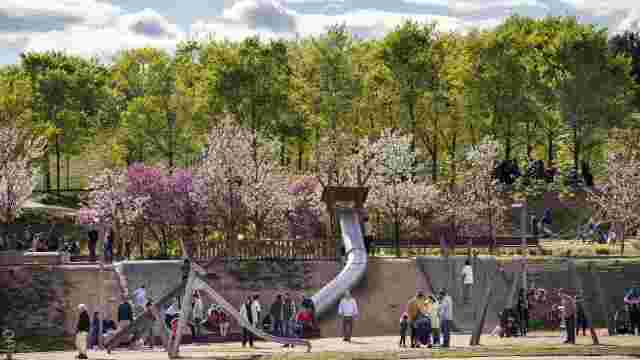
Route from FGC Mira-sol to the Monastery
A linear route between the 'Mira-sol' FGC station and the Sant Cugat Monastery, passing through Turó de Can Mates Park and Parc Central.
Cycle route from FGC General Hospital to the Monastery
A linear bicycle route between the 'Hospital General' FGC station and the Sant Cugat Monastery, combining bike lanes and cycle paths.