Monks’ path
The path offers a scenic 25 km hike, showcasing Romanesque and Gothic monasteries, and climbs from 100 to 1,050 meters, ending at a stunning mountain peak.
The Camí dels Monjos (Monks' Way) crosses the municipalities of Sant Cugat del Vallès, Sant Quirze del Vallès, Terrassa and Matadepera. Even today, this path links the monasteries of Sant Cugat del Vallès and Sant Llorenç del Munt, two great examples of the Romanesque and Gothic styles.
Along its 25 kilometres, it climbs from an altitude of 100 meters in Sant Cugat to the 1,050-meter peak of La Mola, where the monastery of Sant Llorenç is located.
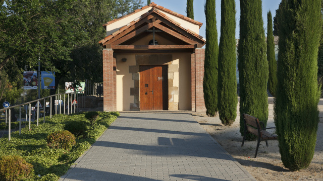
The itinerary begins at the Plaça d’Octavià, in front of the Monastery of Sant Cugat. The path continues down the Carrer Major, with its 15th-century arched porticoes, and then follows the Avinguda de Rius i Taulet. When it veers down the Avinguda de Graells, we see the chapel of Sant Domènec to our left. The route then leaves the Avinguda de Graells and passes through the Jardins de Caterina Albert via Carrer de Víctor Català. It then crosses the railroad from Barcelona to Sabadell and continues alongside the tracks until it reaches the Camí dels Monjos and the Plaça dels Castellers, where it once again crosses the railroad and the AP-7 highway. The Way continues through the Plaça de Xavier Cugat and the Plaça de la Recerca and heads north until it reaches the neighbourhood of Can Barata, the last stop in the municipality of Sant Cugat.
Circular route from FGC Sant Cugat
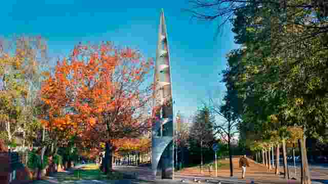
A circular route in the south of Sant Cugat, starting and finishing at Lluís Millet Square, opposite the 'Sant Cugat Centre' FGC station.
Route from FGC Volpelleres to the Monastery
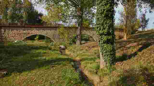
A linear route between the 'Volpelleres' FGC station and the Sant Cugat Monastery, combining urban sections with bike lanes, parks, and natural areas.
Route from FGC Mira-sol to the Monastery
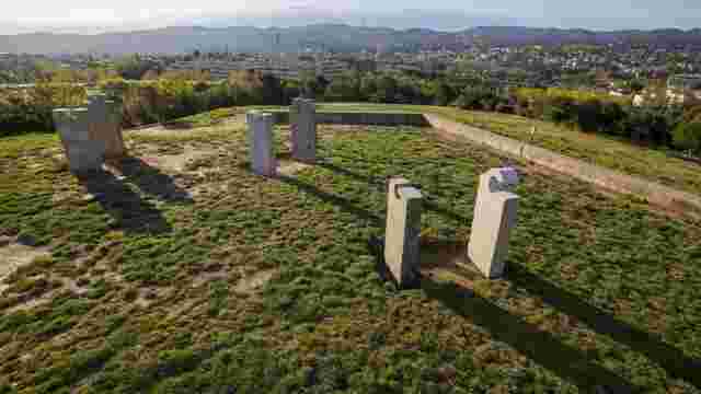
A linear route between the 'Mira-sol' FGC station and the Sant Cugat Monastery, passing through Turó de Can Mates Park and Parc Central.
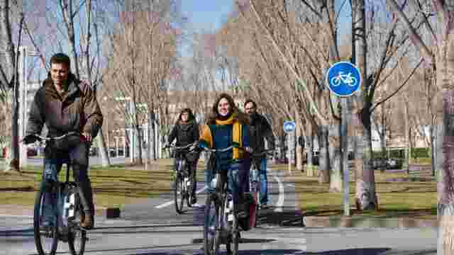
Cycle route from FGC General Hospital to the Monastery
A linear bicycle route between the 'Hospital General' FGC station and the Sant Cugat Monastery, combining bike lanes and cycle paths.
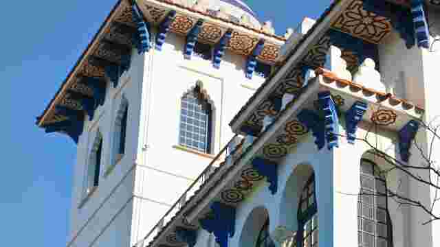
MODERNISM AMONGST SINGULAR TREES
A walk throughwalk through Sant Cugat’s modernism
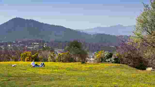
ROUTE THROUGH CENTRAL PARK AND CAN MATES HILL PARK
Around the greenbelt of Sant Cugat
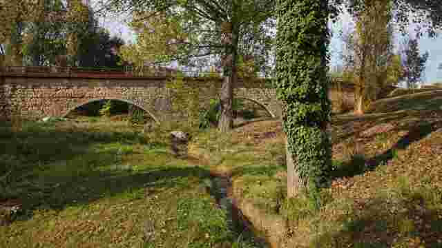
A walk through Sant Cugat’s green spaces
Sant Cugat, “green” city.
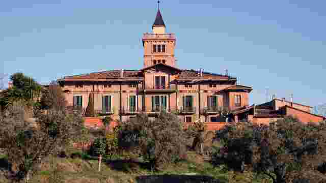
Climbing Puig Madrona
Western vantage point of the Collserola massif.
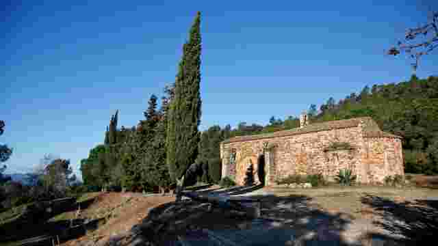
Walk to Puig Madrona (from Valldoreix)
A short but intense climb that rewards you with an exceptional panoramic view of Vallès and the Collserola mountain range.
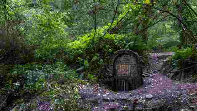
Walk to the Ermetà Spring
One of the most emblematic springs in Collserola Park, located near the Torre Negra (Black Tower) and surrounded by native vegetation.
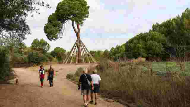
Pi d'en Xandri
The Pi d’en Xandri is one of the oldest pines in Catalonia.
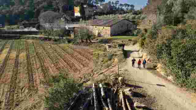
Walk to the Sierra de Can Bell and the Torrente de Can Gordi
A refreshing and pleasant walk through forests and streams with typical Collserola landscapes. Circular route.
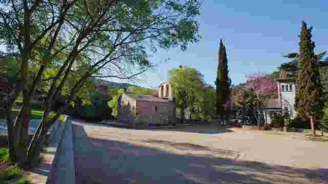
From Sant Cugat del Vallès to Sant Medir
Follow a section of the GR 6 trail along the Sant Medir stream.
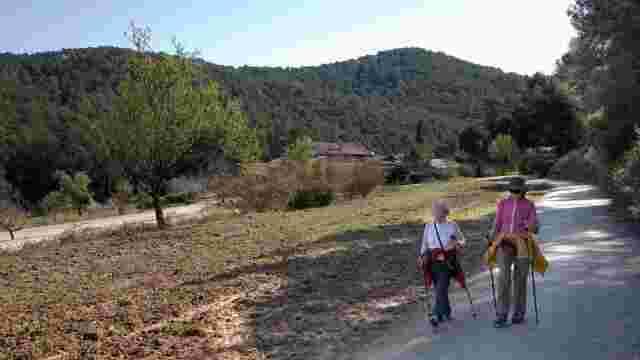
From Sant Cugat del Vallès to the Gausac Valley or Sant Medir
Ideal for families, with shade and pleasant views.
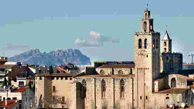
GR 6 Montserrat Trail. From Barcelona to the Monastery of Montserrat
A route that starts in the Horta labyrinth (Barcelona) and goes through Collserola, Vallès and Llobregat until reaching Montserrat.
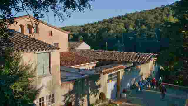
From Sant Cugat to Can Borrell
Explore scenic trails, historic ruins, and natural springs, culminating at a charming farmhouse, offering a picturesque hiking experience.
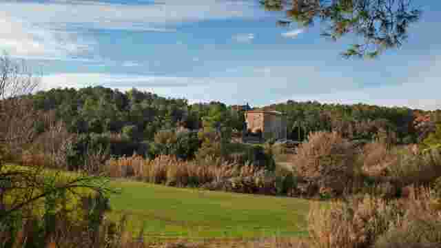
Font de l’Ermetà and Torre Negra
Explore scenic trails with historic landmarks, dry brooks, and a famous pine, offering a serene hiking experience near Sant Cugat.
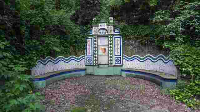
Springs of Ribes and la Rabassada
Discover scenic paths, historic viaducts, and serene springs, ideal for nature lovers and hikers seeking tranquility and picturesque views.
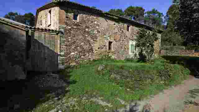
Valleys of Can Bell and Can Gordi
Explore scenic trails with large oaks, serene brooks, and historic ruins, including a spring and an ancient church, perfect for nature and history enthusiasts.
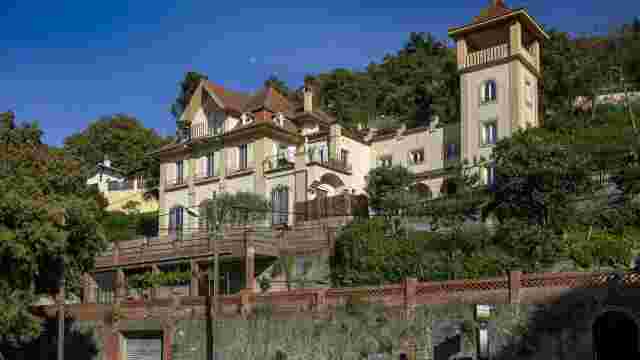
La Floresta – Rabassalet
Explore scenic routes, historic villas, and vibrant squares, perfect for a picturesque journey through charming landscapes and cultural landmarks.
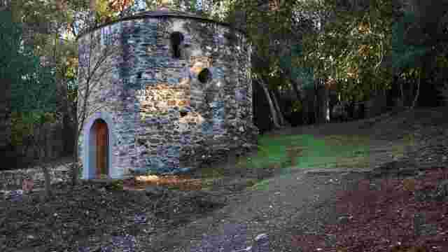
The pond of Can Borell and Sant Adjutori
Explore scenic paths, a historic hermitage, and an ancient kiln, offering a blend of nature and history for tourists.
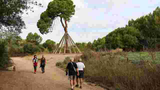
Sant Cugat via Can Borell
Explore scenic trails, historic sites like Torre Negra, and enjoy nature's beauty with stops for refreshment along the way. Ideal for hiking enthusiasts.
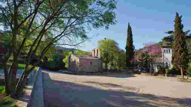
Sant Cugat-Baixador de Vallvidrera
Explore scenic trails, historic sites like Torre Negra, and lush nature, ending at a convenient railway station near Parc de Collserola.
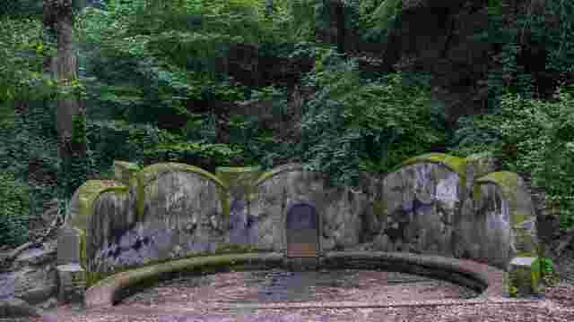
Font Groga
Explore scenic trails, hidden springs, and a nature reserve with diverse flora and fauna, ideal for hiking and nature enthusiasts.
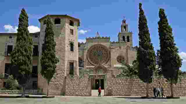
Way of Saint James
A historic pilgrimage route with scenic trails, medieval landmarks, and nature parks, offering a spiritual and cultural journey through picturesque landscapes.
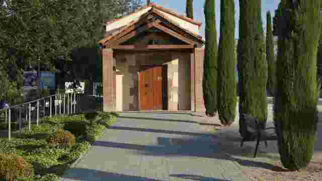
Monks’ path
The path offers a scenic 25 km hike, showcasing Romanesque and Gothic monasteries, and climbs from 100 to 1,050 meters, ending at a stunning mountain peak.
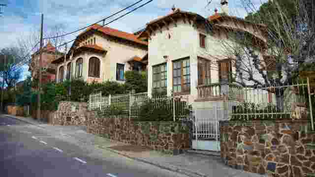
The novecentist summer houses of Valldoreix
Explore classicist and eclectic architecture with unique novecentist houses, charming plazas, and scenic rambles, perfect for a leisurely stroll.
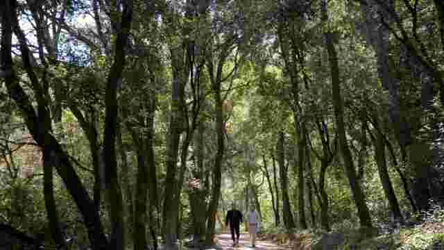
The Ignatian Way
Historic pilgrimage route featuring scenic stops in Terrassa, Sant Quirze del Vallès, and Sant Cugat, with a detour to Montserrat.
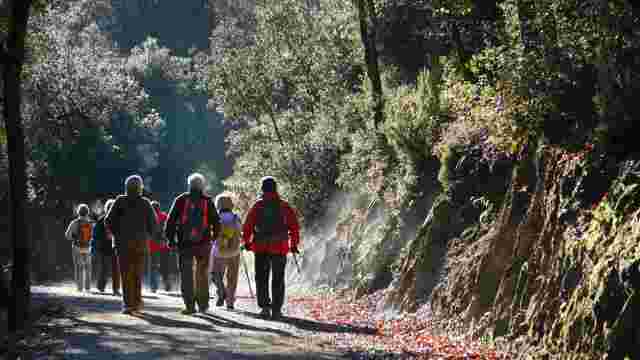
PR C-38, Sant Cugat to Barcelona
Short path from Sant Cugat to Vista Rica (Horta-Guinardó, Barcelona). Signposted with white and yellow marks.
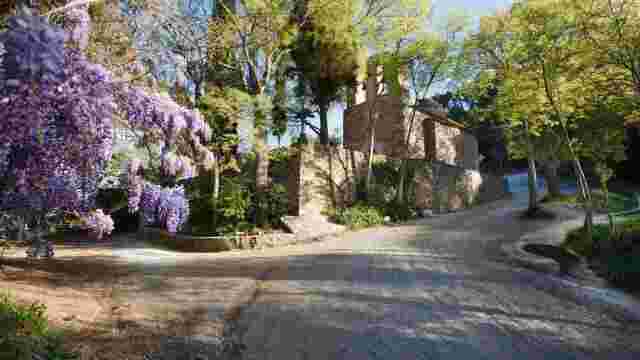
Sant Medir pel pantà de Can Borrell
Sant Medir pel pantà de Can Borrell
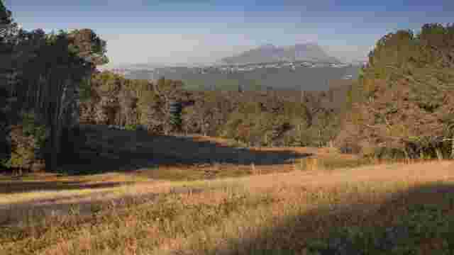
Turó de Can Camps
Turó de Can Camps