Turquoise Route – The Green Places
HOME · Monastery Gardens
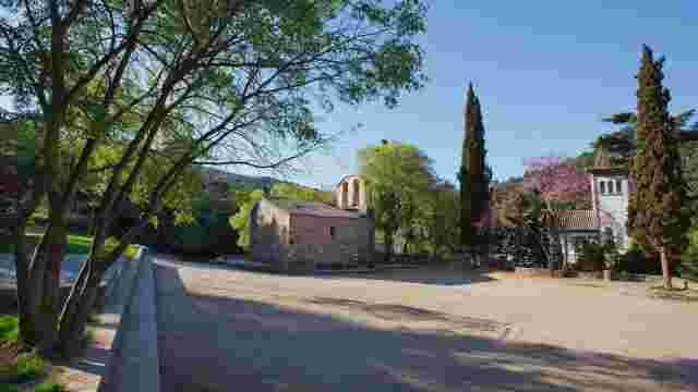
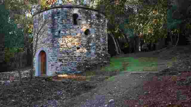
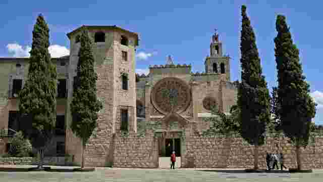
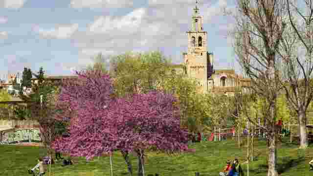
The route begins in the Monastery Gardens of Sant Cugat, between the monastic complex and the House of Culture.
MONASTERY GARDENS
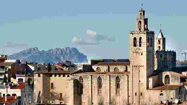
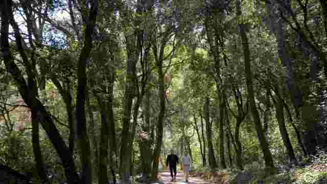
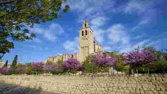
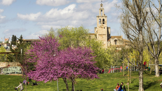
This green space surrounds the Monastery and combines gardens, semi-open meadows and wooded areas with cypresses, holm oaks, sweet chestnuts and elms. Its paths allow you to walk around the monumental complex and admire its architecture from different perspectives.
Leave the gardens and cross Avinguda Francesc Macià, heading towards Carrer de l'Abat Guillem d'Avinyó.
Turn left onto Rambla de Mossèn Juli and follow this tree-lined promenade to the Gardens of Sant Francesc.
Briefly go up Carrer Joan XXIII and turn right onto Carrer de l'Abat Escarré. Continue straight on to the roundabout at Plaça de l'Abat Donadeu.
Take the first exit onto Abat Biure Street, passing the Collserola School. Continue until you reach a green area and turn left onto the green path that runs through it.
Follow this path to Can Magí Avenue and continue heading north.
At the roundabout, go around it to the left and enter Torrent de Ferrussons Street. Continue to the children's play area, from where you can access the park.
FERRUSSONS RILL PARK
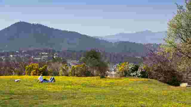
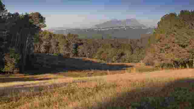
Situated at the highest point of Coll Favà, this park combines wooded areas, riverside paths and a naturalised rill that promotes biodiversity. In the elevated area, there is an old boundary cross and a viewpoint with views of Collserola, the Montseny and Montserrat.
Cross the park following the inner path, cross the wooden bridge and go up the stairs until you reach Salvador Espriu Street.
Follow this street in a south-westerly direction until you reach Carrasco i Formiguera Street, from where you can access Can Vernet Park.
Cross the park following the internal paths, heading north-west, until you find the Can Vernet bridge.
CAN VERNET BRIDGE
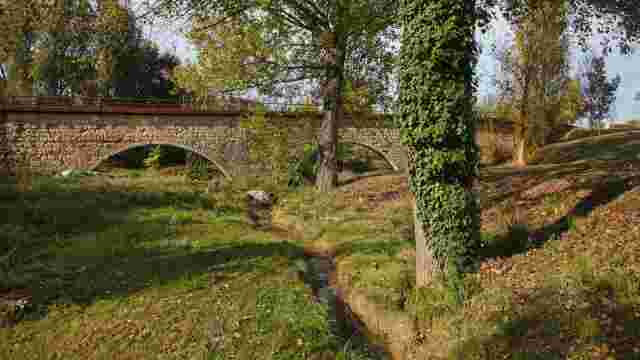
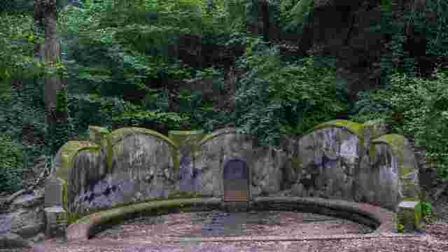
This 14th-century Gothic aqueduct was part of the water supply system for Sant Cugat. It carried water from the Monks' Quarry to the Monastery and the old town. It is now part of a green space crossed by the Volpelleres stream.
After visiting the bridge, return to Can Volpelleres Avenue and follow it uphill to the junction with Alfons d'Aragó Street.
Turn left and continue along Alfons d'Aragó Street to the railway level crossing.
Cross the tracks at the level crossing and continue uphill along Carrer de Víctor Català until you reach Avinguda de Can Graells.
Turn left and, after a few metres, you will find the rear entrance to Mercantic on your right. If the complex is open, you can stop at this space dedicated to antiques, culture and gastronomy, located in a former ceramics factory.
Continue to the main entrance of Mercantic and take the Rius i Taulet Avenue until you reach the roundabout at the Vallvidrera road.
Take the exit heading south onto the Vallvidrera road and continue until you reach Ramon Llull street (on your right), one of the entrances to the Turó de Can Mates park.
Enter the park and follow the winding paths uphill until you reach the top of the hill.
CAN MATES HILL PARK
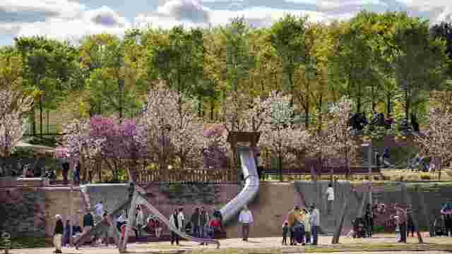
This is the largest urban park in Sant Cugat, known for its giant slides and spacious leisure areas. It combines meadows, wooded areas and former agricultural landscapes. From the summit, a viewpoint featuring Pep Codó's Wind Rose offers panoramic views of the city and its surroundings.
From the summit, begin the descent through the park heading east towards the Central Park.
Follow the main path of this extensive green space until you reach the railway crossing at the street of Rovellat.
Follow Manel Farrés Street to the junction with Lluís Companys i Jover Avenue. Continue straight on, downhill, along Torrent de la Bomba Street to Doctor Galtés Square.
Cross the square and continue along the same street until you reach Sant Bonaventura Street.
Turn left and continue to the Rambla del Celler. Take this pedestrian walkway eastwards, passing the Town Hall, until you reach the roundabout in front of the El Sant Cugat hotel.
Take the first exit on the right onto Cèsar Martinell Street, which leads to Ramon Barnils Park.
RAMON BARNILS PARK
Located in the centre of Sant Cugat, near the Teatre-Auditori and the Town Hall, this park combines extensive green spaces with play and leisure areas. It has slides, a sandpit, play equipment and paved areas for sports activities.
Cross the park until you reach Pla del Vinyet Avenue. Cross at the pedestrian crossing and head towards the Gabriel Ferrater Central Library.
Go around the library on the right and take the Antoni Gaudí pedestrian walkway, heading south.
Continue along this tree-lined walkway, leaving the Arboretum Park on your left.
ARBORETUM PARK
This green space combines open meadows and shady groves with a great diversity of species, such as holm oaks, pines and oaks. The Antoni Gaudí walkway is notable for its row of American oaks, while the park offers expansive views towards Collserola and the Monastery.
Cross the park eastwards towards the ESADE campus, until you reach Torre Blanca Avenue.
Follow the avenue northwards to the roundabout at Gabriel Ferrater Square.
Take the first exit on the right onto Pla del Vinyet Avenue and continue straight on, through the residential area, until you reach the roundabout at Rotary International Square.
From here, take the Can Borrell path and follow it until you reach the Pi d'en Xandri.
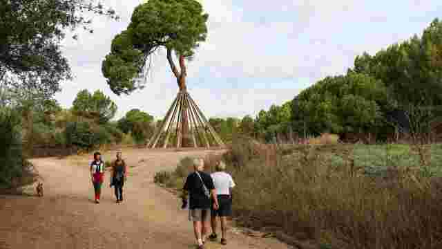
Xandri's Pine
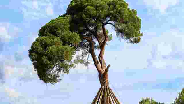
This monumental pinyon pine, over 250 years old and about 23 metres high, is one of Sant Cugat's most iconic trees. Located in the grounds of Torre Negra, it is notable for its crown and the supports that hold it up, installed after the act of vandalism it suffered in 1997.
After visiting, turn around and return to the urban area the same way, to Rotary International Square.
Take the path heading north that connects with Corts Catalanes Avenue.
Continue along this avenue until you find one of the entrances to Pollancreda Park on your left.
PARK DE LA POLLANCREDA
This extensive urban park, crossed by the Sant Cugat stream, is notable for its large wooded area and the two bridges that connect the different sections. It has paths for walking, a cycle path, play areas and sports facilities, and is part of the green axis that connects the city with the natural surroundings of Collserola.
Cross the park on the internal paths heading north-west, towards the centre of Sant Cugat.
Exit the park via the roundabout that gives access to Av. de Cerdanyola.
Follow Av. de Cerdanyola towards the historic centre to the junction with Passeig de Francesc Macià.
Turn right and continue along Passeig de Francesc Macià in a northerly direction, until you reach the Monastery Gardens.
Cross the walkway and re-enter the gardens, where you will find the end point of this circular route.
FINAL · Monastery Gardens